TruSat
Designing Pokémon Go for satellites
Why would you snap photos of satellites?
- It's fun
- To prevent the cascade of collisions that could trap humanity on Earth
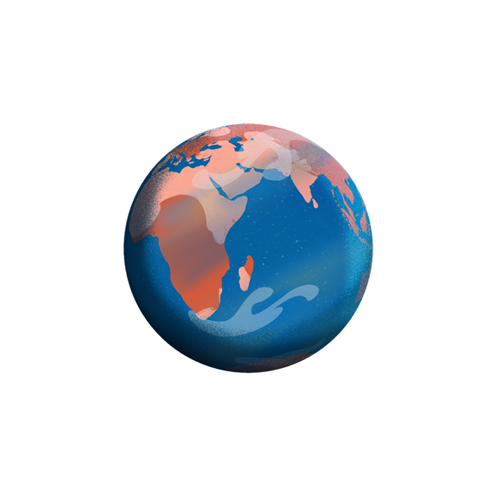
TruSat is a crowdsourced catalog of objects orbiting Earth.
I designed it end-to-end, working with some of the smartest people I've ever met.
A citizen-powered satellite catalog
In late 2018, blockchain venture firm Consensys acquired the asteroid mining company Planetary Resources (🤯), and asked what could a globally coordinated network of space enthusiasts do for space? I led design on the team formed to answer it.
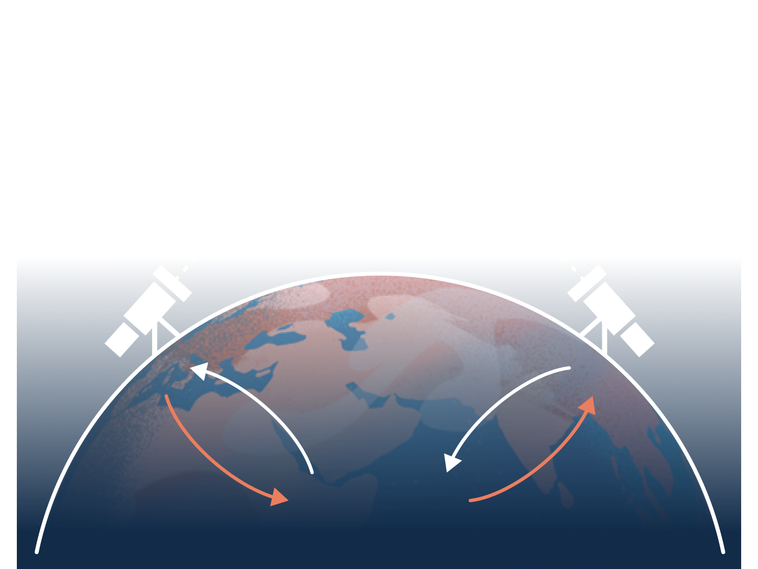
We focused on space situational awareness (SSA) — the data that tells us where satellites are and whether they're behaving safely. It's a textbook coordination problem: every operator benefits if everyone tracks responsibly, but no operator wants to share data with their competitors. A classic tragedy of the commons, playing out over our heads.
The result is TruSat:
- a mobile app where anyone can capture sightings against a backdrop of constellations
- a catalog showing backyard astronomers where to point their telescopes
- a network of observers and telescope nodes
- a public record of orbital behavior — owned by no government and no operator
Explainer
I scripted, storyboarded, and art directed this video, animated by Louis Wes; music and sound by Jennifer Pague.
Problem
Satellites are about to multiply by 25x, and a single chain reaction of collisions could lock us out of orbit for generations (Kessler syndrome). We have international sustainability standards and the analytical tools to evaluate behavior against them. What's missing is trusted data — every existing source is controlled by a party with skin in the game.


Hypothesis
An SSA dataset that no one owns is one that everyone can trust.
Same trust mechanism as a public blockchain: distributed data, rules enforced by code, no single party in position to manipulate the record.
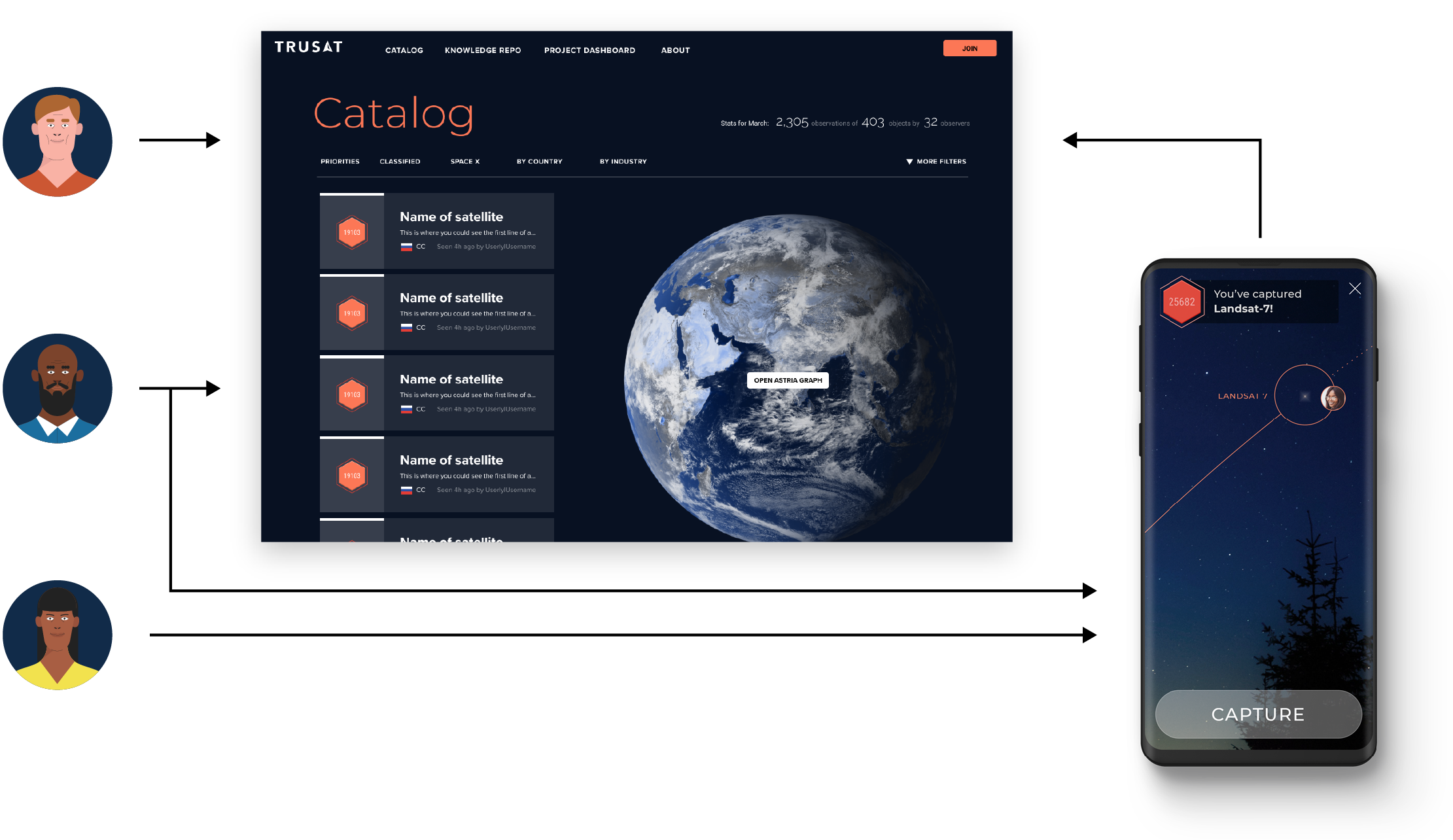
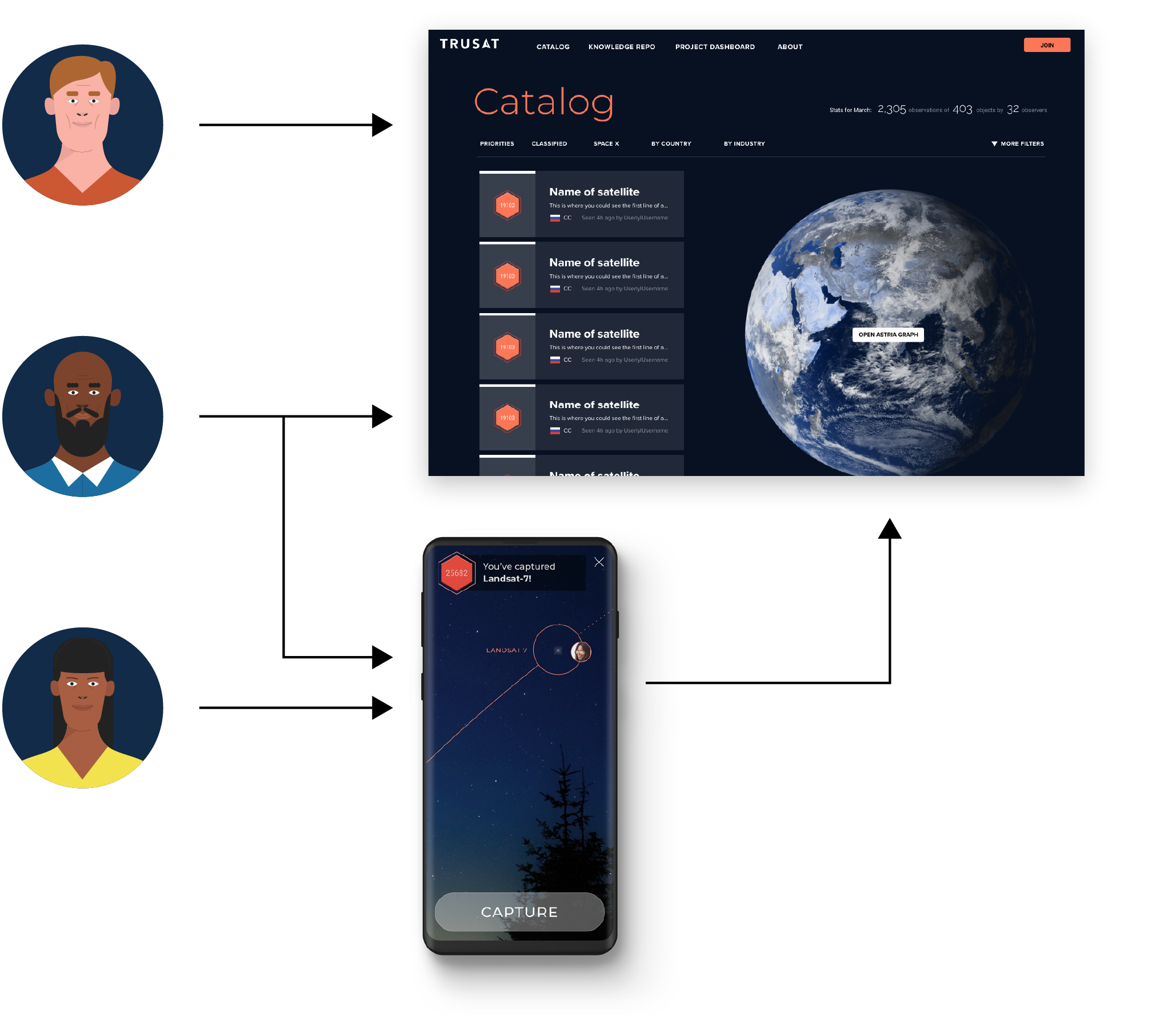
Build the software that lets citizen scientists worldwide spot satellites, and you crowdsource the independent record the industry can't produce on its own.
Observers submit new data
Catalog auto-updates with observations
Observers receive directions for where to look next
Personas
We interviewed dozens of space enthusiasts across four continents and clustered them into three personas — segmented by equipment access, time budget, and audience size.
Hobbyist
DSLR and/or telescope. Comfortable with hardware. Often retired. The power user.
STEM Worker
Technical day job, little spare time. Could use sat-tracking software. Has spotted satellites before.

Space Dreamer
Wants a career in space. Follows space accounts. No equipment yet. Has never seen a satellite.
Two apps, one network
Our wedge is the hobbyists. While they represent the smallest segment, they already have the telescope rigs to seed the network with high-volume, high-accuracy data.
So we planned to first build the orbital catalog and ground-station tools for experienced trackers.
The next phase would be a mobile capture app for everyone else.
Experienced trackers seed the network. Newcomers grow it. Both feed the same dataset.
Pokémon Go for satellites
This mobile app never shipped — COVID killed the funding.
But the concept still holds up, especially as phone cameras continuously improve. If you can see stars, you can see satellites, and a phone is enough to log a scientifically useful sighting.
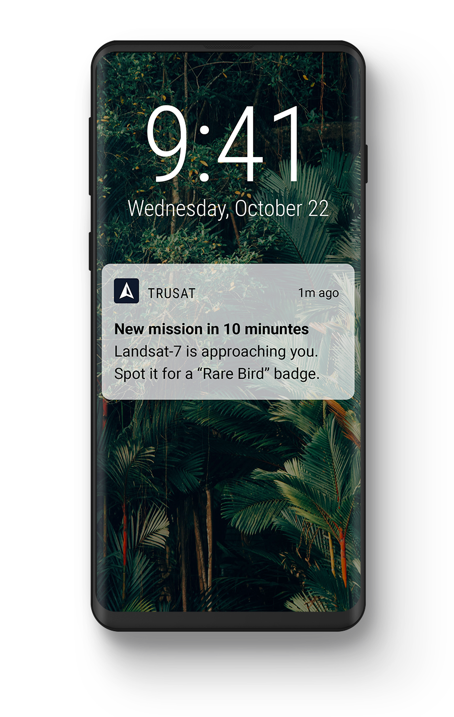
An alert when a visible satellite is about to pass overhead.
Follow the AR orbit track, then snap a photo to capture the observation. The constellations behind the satellite anchor its position.
You "own" the satellite — until another tracker captures it elsewhere on Earth.
Incentive system
A crowdsourced dataset is only as trusted as its weakest contributor. The system has to reward the right thing, and route effort to where the dataset is thinnest.
Three loops work together:
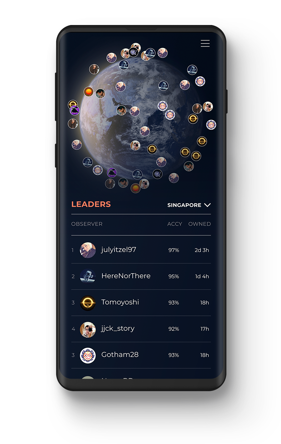
Accuracy → influence
Voting power on the network is weighted by an observer's historical accuracy, not their volume. A noisy high-volume tracker has less say than a careful hobbyist with a clean record. Reputation is governance.
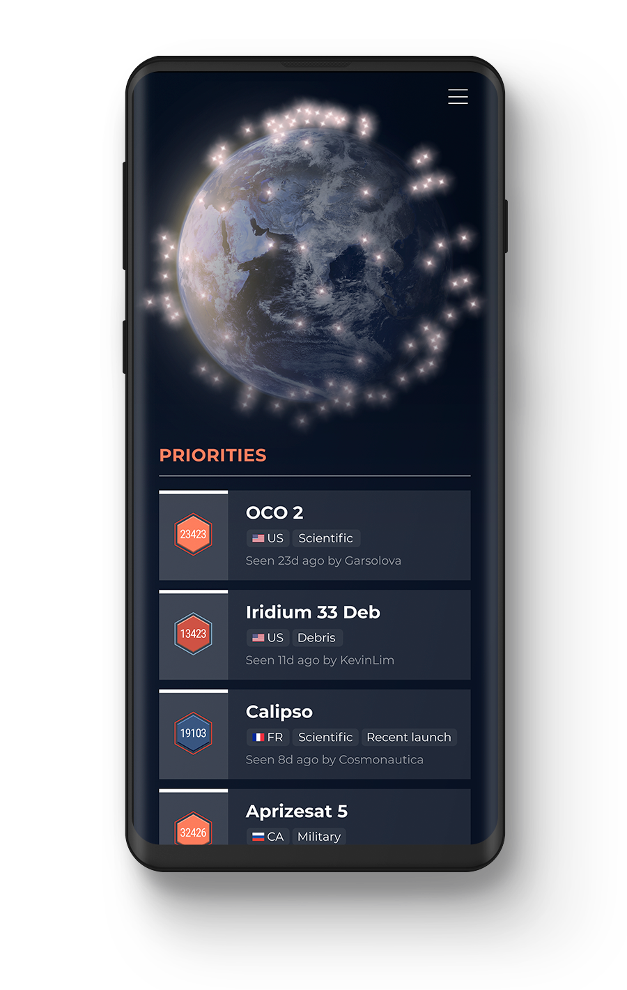
Priority → bounty
The catalog algorithmically ranks which satellites need observations most — by recency, criticality, and geographic gaps. Capturing those earns bigger rewards. Industry partners can also task the network for specific satellites and contribute to the bounty pool.
Collection → conversion
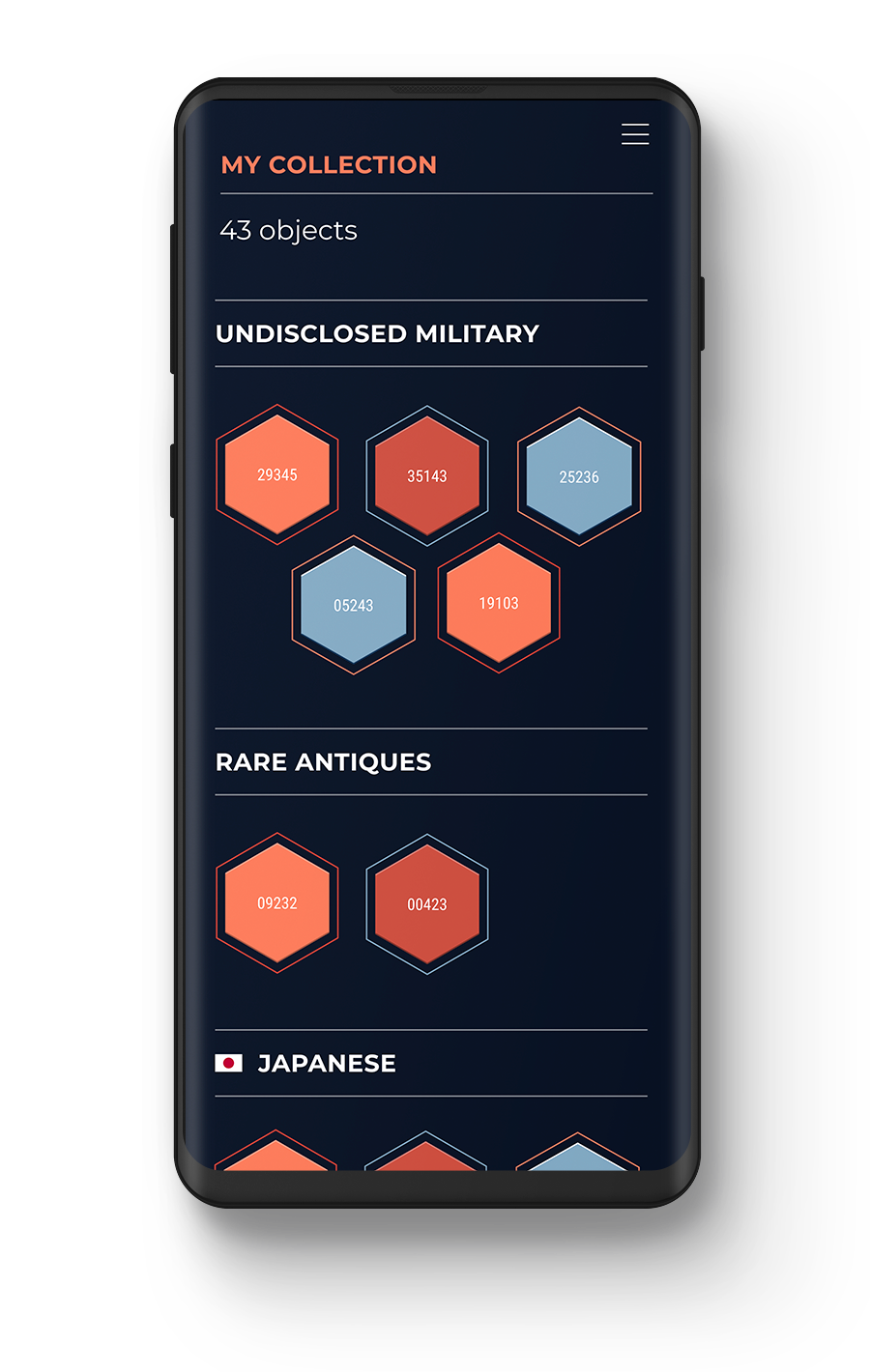
Each capture is a collectible badge. Rare satellites can go unseen for months; common ones are starter material.
The collection loop pulls Space Dreamers in; the accuracy-and-priority loops convert the most engaged into ground-station operators feeding the network at volume.
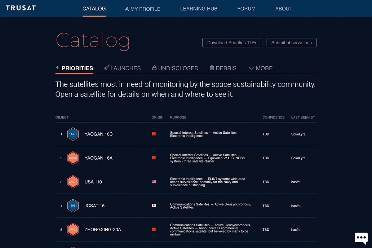
In October 2019 we shipped the TruSat Catalog — giving experienced trackers a target list and a place for their observations to land.
Object list
Every publicly known object orbiting Earth — including classified payloads and debris — ranked by which need fresh observations the most.
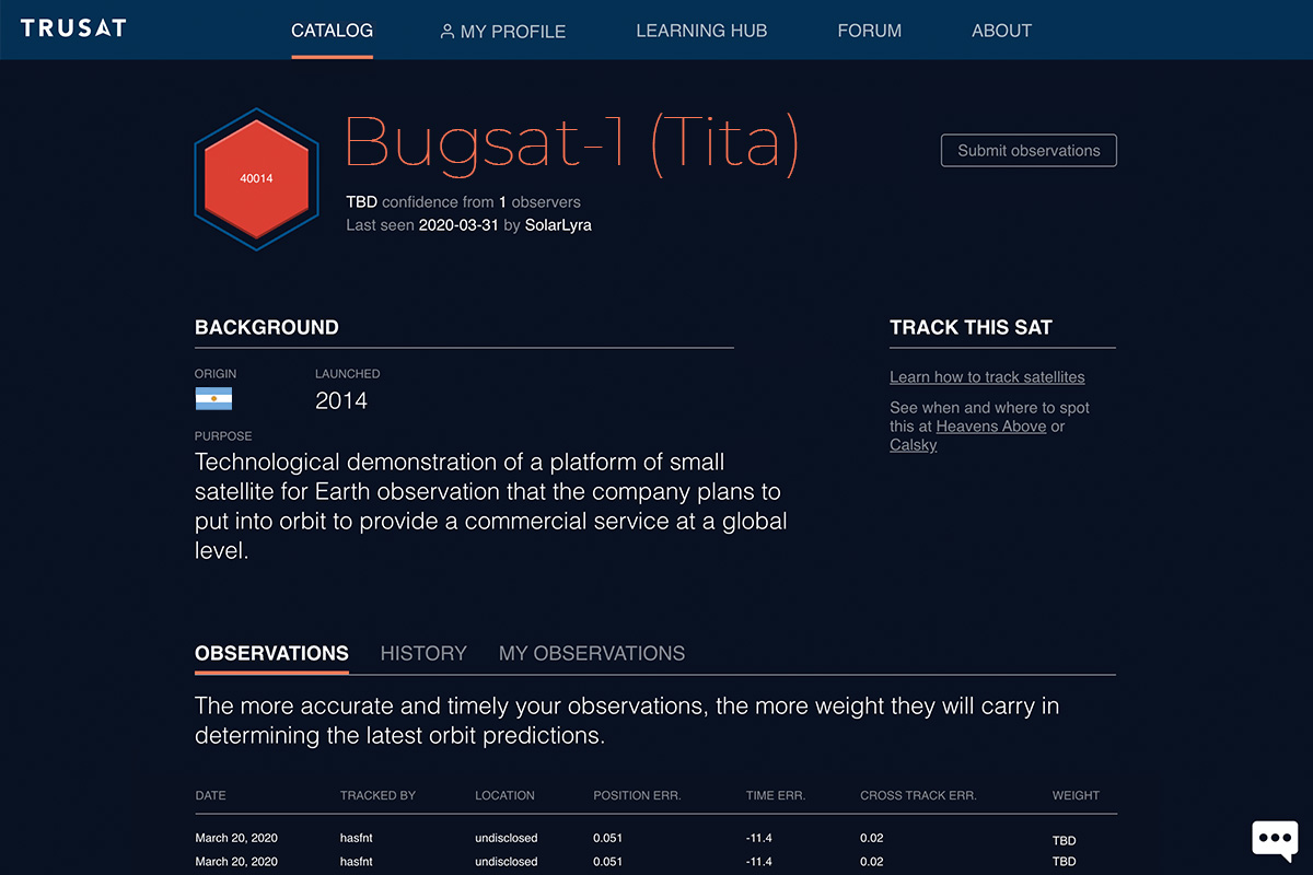
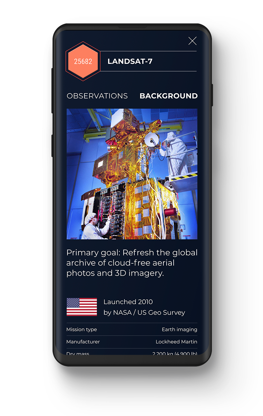
Objects
Every satellite gets a page with its backstory and an immutable record of its orbital behavior.
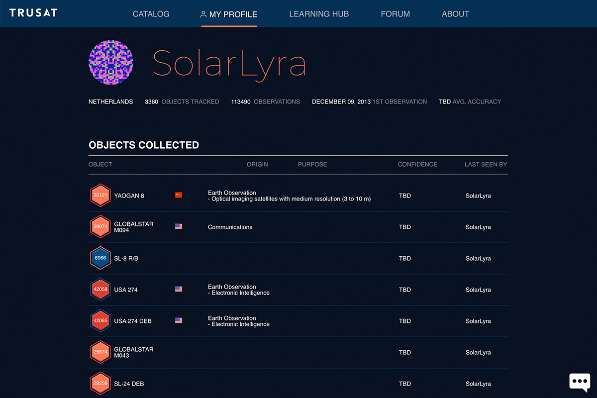
Profiles
Every observer gets a profile that tracks their captures and accuracy score — replacing the spreadsheets most trackers use today.
Epilogue
While the project may no longer be funded, it lives on with the support of volunteers in the amateur satellite-tracking and open-source communities. Many thanks to everyone who has contributed.
Follow TruSat on GitHub.